
Following a Santa Cruz Street Directory Address
A street-by-street search should begin with the physical address, not a guess about who lives there. Santa Cruz County's address trail has a clear sequence: resolve the number and base street name, save the APN, inspect the parcel in GISWeb, obtain the allowed owner and mailing information from the Assessor, search the deed index, and then add the records that can supply historical or household context. The APN is the durable bridge between systems even when a street name, postal city, or house number changes.
The result still needs careful labels. An assessment-roll owner is a title or tax record clue. A Recorder party is someone named in an instrument. A permit applicant or contractor has a project role. A reverse-directory entry is a listed subscriber or householder for one publication year. Those roles can overlap, but none should be silently changed into a claim about every person at the address.
- Enter the street number and base street name in the Santa Cruz County Parcel Lookup, omitting Ave., Street, Blvd., or another suffix. Save the APN, situs, and parcel facts.
- Open Santa Cruz County GISWeb, search the APN or address, and use map navigation to see the parcel, adjacent lots, ZIP area, city limits, and district layers.
- Call Real Property at 831-454-2270 or visit the Assessor at 701 Ocean Street, Room 130, Monday through Friday from 8 a.m. to 5 p.m. Ask for the assessment-roll owner and tax mailing address for the specified APN.
- Search the Recorder's official-record inquiry by the owner as grantee, then verify the acquisition document by legal description or APN. Search the grantor as an earlier grantee to walk backward.
- Use permitted election channels, city or county permit files, and Haines reverse directories for context. A name-only voter search is not a lawful street roll, and a directory absence is not proof that a parcel is empty.
Santa Cruz Parcel Lookup Fields
The County Parcel Lookup offers an address-first start for a Santa Cruz address trail. Its property address field expects a number and base street name. Leaving off the suffix is not a cosmetic choice; it follows the county's instruction and avoids a failed match. The alternative is the county APN, which is useful when a map, deed, permit, or tax record already supplies the parcel number.
The online result may show the APN, situs address, assessment characteristics, value information, and map links. Owner information is deliberately missing from the web result because California law restricts online release. The next step is the phone or counter channel at Room 130. Keep the situs and mailing address in separate notes because a tax-notice destination can differ from the physical parcel.
The Santa Cruz County Assessor office explains the public counter route for the parcel roll.
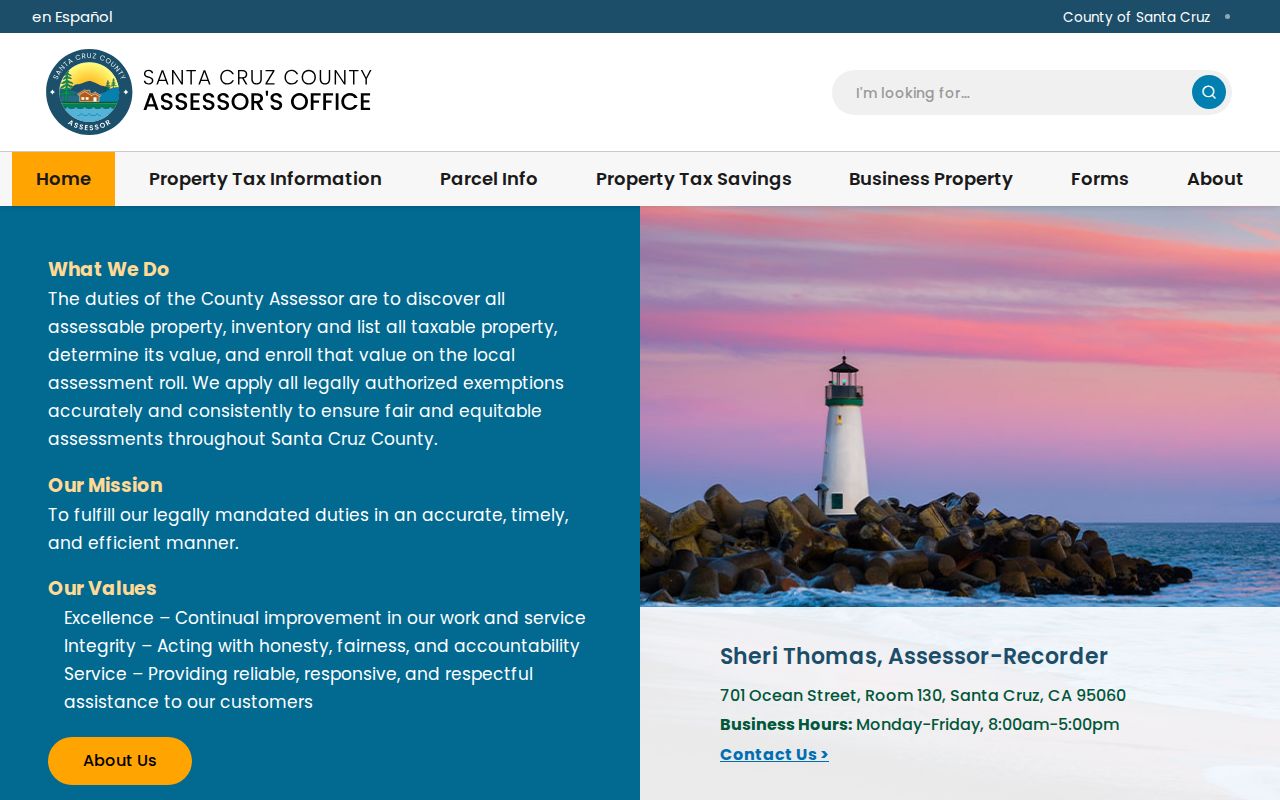
The Assessor office image belongs at the start of the address chain: an online APN is the map key, while the owner and mailing fields require the permitted staff channel.
| Field or action | Type | Required | Format or use |
|---|---|---|---|
| Parcel Number or AIN | Text | Either/or | Enter the county APN when known. |
| Property Address | Text | Either/or | Number plus base street name; omit Ave., Street, or Blvd. |
| Search | Button | Action | Resolves the parcel card and map links. |
Mapping a Santa Cruz Street Directory Block
GISWeb adds the geography that a text address lacks. Accept the disclaimer, search by APN or address, use the magnifier, and select the parcel. A click can open parcel information and the Property Report. The report brings together land-use information, biotic or water resources, hazards and geophysical conditions, and special-district information. The map can then be panned along both sides of a block.
More than 100 layers are available in the county GIS environment. Parcels, ZIP areas, city limits and spheres, zoning, precincts, legislative and school districts, flood and fire hazards, water and sanitation boundaries, and code-compliance layers answer different location questions. GISWeb can show a corner parcel or a rear lot that a run of house numbers would miss. It does not defeat owner-name suppression, and a public owner export was not verified.
The county GIS instructions describe the APN, address, and map-navigation methods; the GIS home and help page provides the county’s current entry point and updates.
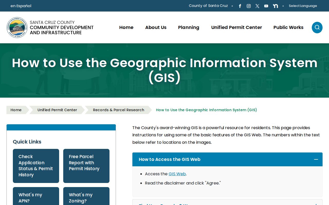
The GIS view is a parcel and jurisdiction tool. It helps form a complete block list before each APN is taken to the Assessor and Recorder.
| GIS field or tool | Type | What it does |
|---|---|---|
| Search | Text or autocomplete | Accepts APN, address, or place according to the active mode. |
| Layer list | Checkbox tree | Turns parcels, ZIP, zoning, city limits, hazards, and districts on or off. |
| Identify or select parcel | Map click | Opens the selected feature and parcel information. |
| Zoom, pan, and home | Map controls | Moves along a block while retaining geographic context. |
| Property Report | PDF or action link | Combines land-use, resource, hazard, and district facts. |
| Measure, draw, and print | Toolbar controls | Supports block context, not an owner-name list. |
Santa Cruz Street Records and Situs Clues
Room 130 at 701 Ocean Street is a key practical detail. The online parcel card can settle the APN, but Santa Cruz County directs a researcher to the Assessor by phone or counter for the assessed owner and tax mailing address. Real Property uses 831-454-2270, and the general Assessor number is 831-454-2002. The public hours are Monday through Friday, 8 a.m. to 5 p.m.
Situs means the land's physical address. A mailing address is the destination for assessment notices. A legal description or APN identifies the land through a lot, block, subdivision, map, or metes-and-bounds reference. A mailing address that differs from the situs can signal a trust, another property, an agent, or a mailing preference. It cannot establish who is present at the property.
- Parcel
- A mapped unit of land tied to an APN and a legal description.
- Situs address
- The physical location assigned to the parcel.
- Plat
- A recorded map that lays out lots, blocks, streets, and reference lines.
- Criss-cross directory
- An address-order volume that turns a street and number into a listed householder or subscriber.
Preserve all four identifiers when a Santa Cruz address search crosses records. A deed indexed by a similar name is not enough if the legal description points to another lot.
Santa Cruz Records Along One Street
Address-keyed records answer different parts of the same street question. The coverage table below separates what can be browsed from what requires a staff request. It also keeps the word resident from swallowing the limits of an owner, party, applicant, or listed subscriber record.
| Record set | Keeper | Street-level value | Access and limit |
|---|---|---|---|
| Assessment roll | Santa Cruz County Assessor | APN, situs, assessed characteristics, owner and mailing address | Parcel facts online; owner by phone or Room 130 counter |
| GISWeb parcel map | Santa Cruz County GIS | Adjacent parcels, ZIP, city limits, zoning, hazards, districts | Free map after disclaimer; no verified public owner export |
| Official records | Santa Cruz County Recorder | Deed parties, liens, releases, maps, dates, document numbers | Index online from 1978; copies and older books through Recorder |
| Permit history | City Planning or County CDI | Project site, applicant, contractor, work, dates, status | Address or APN search; role is not residence |
| Voter information | County Elections and California Secretary of State | Self-verified status or permitted file fields | Purpose-restricted; not casual street browsing |
| Reverse directory | SCPL or State Library | Listed occupant or subscriber by street and number | Selected years; absence does not prove vacancy |
The APN is the tie point for parcel, GIS, deed, permit, and tax records. A street name helps with browsing, but it is not a unique land key. When the question narrows from a whole street to one person, the Santa Cruz resident lookup uses a different verification sequence.
Reading the Santa Cruz Deed Index Eras
The Recorder's current official-record index searches by party name, document ID, or document type and requires a date range. The web index reaches from 1978 forward. Before that web cutoff, manual grantor and grantee books, deed books, microfilm, and Digital Reel research become the access route. The office says the digitized corpus reaches from 1850 to the present, but digitization is not the same as a free web index.
Older electronic names use abbreviation rules. Between 1974 and 1990, the first word and later terms can be abbreviated, with forms such as SEC PAC NATL BK. From 1990 to 1999, the first word is generally preserved while later terms remain abbreviated. Beginning January 1, 2010, terms are not abbreviated and party-list assistance helps variants. Search a corporate or institutional party through plausible abbreviations, then verify the instrument by parcel and legal description.
The Recorder contact page identifies the counter route, hours, telephone, email, and the Watsonville schedule.
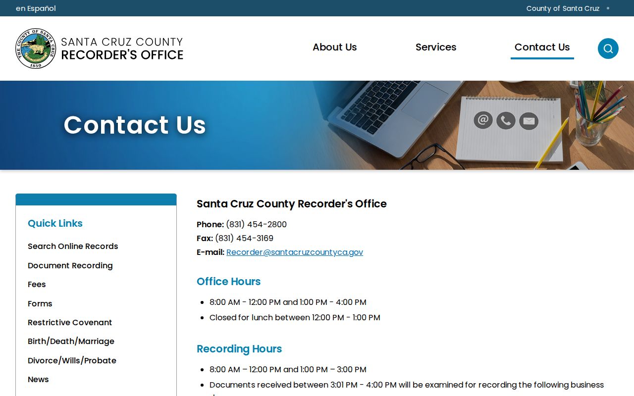
The Recorder counter is the fallback when a pre-1978 party or a handwritten index cannot be settled through the online inquiry.
Santa Cruz Permit Records by Address
Permits add a time-stamped project trail to address records, but a project role is not a household role. For parcels inside the incorporated city, the City's eTRAKiT system can search permits and business licenses by site address or permit number. Full detail before 2010 may require staff research. County CDI handles unincorporated property, including addresses that use a Santa Cruz postal city.
A permit result can associate an applicant, property owner, contractor, project description, inspections, status, and dates with a site. Building, planning, code, and business-license records have different fields. If a property crosses a city boundary assumption, use GIS city-limit and jurisdiction layers before selecting the request office. A named project participant should be cited as applicant, owner, contractor, or contact, not as an occupant.
Permit records pair well with a deed or directory when the question concerns a house's physical history. They should not be used to infer a household from an isolated construction record.
Haines in a Santa Cruz Street Directory
Haines reverse or criss-cross directories invert the usual name-to-address order. Santa Cruz Public Libraries and related reference collections hold some years from 1977 to 2015. Choose a volume, locate the street guide, orient the block with intersections, and read the odd and even numbers in order. The entry may show a listed householder or telephone subscriber, a business, or a vacant notation, depending on the volume.
Compare at least two years. Directory canvassing and publication timing can lag a move, while a missing name can reflect non-subscription, a change in listing, or an incomplete run. A street guide is most useful when paired with an APN, a deed date, a census, a newspaper notice, or a second directory. The historical collection details and entry abbreviations appear in the Santa Cruz directory book coverage.
Do not treat the Haines shelf as a complete list of people at every address. It is a historical listing of what the publisher captured for that year.
Street Number Clues in Santa Cruz Directories
Santa Cruz house numbers were not static. The local house-history guidance warns that numbers changed often, and no authoritative single citywide renumbering year was located. A name that seems to vanish may have moved on paper while remaining on the same parcel. The 1944 City and Chamber street-directory map is a rare bridge between directory text and street geography. Sanborn sheets, assessor parcel maps, recorded plats, successive directories, and old street-name forms add further checks.
When an address shifts, first compare the old and new number against the same legal description or map reference. Then inspect the street guide for intersections, not only the number. A corner lot may use the cross street, a multi-unit parcel may share one APN, and a rear parcel may not follow the visible sequence. Keep the old APN, new APN, lot and block, and map-book reference in the research notes.
Santa Cruz Streets Across ZIP Lines
ZIP geography can divide a street record search before it begins. GISWeb's ZIPAREAS and CITYLIMITS layers show where a postal route crosses an incorporated boundary. USPS confirms the delivery ZIP for a specific address, but it does not decide which local agency owns a permit, code, or parcel record.
95062 joins city Eastside, Midtown, and Seabright with unincorporated Live Oak and Pleasure Point. 95060 reaches city Downtown, Mission Hill, and Westside addresses and extends beyond the city. 95065 reaches Upper Eastside and DeLaveaga-area county territory. 95064 is centered on UCSC institutional routing, not an ordinary neighborhood slice. An address search should use the parcel and city-limit layer before relying on the words Santa Cruz in a mailing line.
Santa Cruz Deed Alerts by Street
Santa Cruz County Recorder Fraud Notify began October 1, 2025 as a free alert for newly recorded instruments that match a registered personal or business name. The alert can include a document number, type, grantor, grantee, and index link. It covers future recordings after enrollment and cannot block a fraudulent filing. Common names can create false alerts.
For a parcel or street history, an alert is a prompt to inspect the underlying index and contact the Recorder or District Attorney when a transfer looks wrong. It is not a title guarantee and it does not replace a deed copy, legal description, or chain-of-title review. The same source discipline applies to every Santa Cruz address record.
Where a Santa Cruz Street Directory Stops
A street directory cannot show every person connected to a parcel. Assessment records focus on title and tax mailing information. Deeds show parties to instruments. Permits show project roles. Reverse directories show selected listed subscribers or householders. Household members who do not appear in those records remain outside the public address chain. Utility accounts, delivery records, and DMV residence data are not public street rolls.
Voter information is purpose-restricted under Elections Code section 2194, and confidential registration under section 2166 can substitute an address. The federal Driver's Privacy Protection Act and California rules restrict another person's DMV address. Safe at Home provides an additional confidentiality route for qualifying participants. A missing name or protected address should end the search rather than invite a workaround.
Lawful use. Santa Cruz street and parcel records support legitimate personal research, but public access never permits stalking, harassment, intimidation, or harm.
Use the narrowest source needed, record the date inspected, and verify an important fact with the custodian. That is the boundary between a useful Santa Cruz street directory and an unsupported claim about a neighbor.