
Santa Cruz ZIP Code Directory Coverage
Five ZIP codes matter to a Santa Cruz postal search, but they do not carry the same local meaning. The four ZIPs in the city’s 2024 resident-data report are 95060, 95062, 95064, and 95065. ZIP 95063 appears as a mailing or PO-box context rather than a comparable residential share. The table keeps each role visible and avoids assigning a post office station without an address-level USPS result.
| ZIP | Areas and Local Role | Post Office or Delivery Note | Boundary Caution |
|---|---|---|---|
| 95060 | Downtown, Mission Hill, Westside, Upper Westside, and Santa Cruz postal addresses north or west of the city | Verify the exact serving station through USPS by street address | Postal territory extends outside city limits |
| 95062 | Eastside, Midtown, Seabright, and Santa Cruz postal addresses in Live Oak or Pleasure Point | Verify the exact serving station through USPS | City and unincorporated county land share the ZIP |
| 95064 | UC Santa Cruz campus and institutional routing | UCSC campus mail system; verify the individual destination | Campus geography is not an ordinary neighborhood slice |
| 95065 | Upper Eastside and DeLaveaga-area addresses, with county territory east or northeast | Verify the exact serving station through USPS | Postal territory reaches beyond the municipal line |
| 95063 | Santa Cruz PO-box and mailing use | Verify the box facility with USPS | Do not map it as a residential neighborhood without postal evidence |
The 2024 A City Like Me report shares city respondents as 95060 at 46%, 95062 at 36%, 95064 at 10%, and 95065 at 8%; 95063 is marked N/A. Those are report sample shares, not a ZIP population count or a directory of residents. The sample overrepresented 95060, so the percentages should not be reused as a measure of household totals.
95060 and 95062 Santa Cruz Geography
95060 is the broad north and west postal frame. Downtown, Mission Hill, the Westside, and the Upper Westside sit within the city story, while the same postal geography can reach county territory. A ZIP search can suggest where to begin, but parcel and city-limit layers decide whether a city department or a county office holds the next record.
95062 is the clearest mismatch in the Santa Cruz ZIP code directory. Eastside, Midtown, and Seabright are joined to unincorporated Live Oak and Pleasure Point under one postal code. A mailing line that says Santa Cruz does not prove incorporation. For permits, code history, or local public records, resolve the parcel before choosing the custodian.
Note: A ZIP can group addresses for delivery while a city limit, school district, planning area, or parcel boundary assigns a different public-record route.
95064 and 95065 Santa Cruz Areas
95064 is centered on UC Santa Cruz’s institutional routing. It can help sort campus mail and campus records, but it is not a normal neighborhood count. The research includes an official UCSC example using 95064, yet the individual delivery destination still needs USPS or campus confirmation. A campus ZIP is a geographic clue with a special routing purpose.
95065 covers Upper Eastside and DeLaveaga-area addresses and reaches beyond the city line into county territory. The ZIP code directory should therefore be read with the County GIS city-limit layer. A nearby address can share a postal code and street pattern while moving from city permit records to County CDI records.
Use a ZIP as a filter for a question, not as proof of residence. Property ownership, a voter record, or a business address needs its own source and access rule.
95063 Mailing ZIP Context
95063 is associated with Santa Cruz PO-box and mailing use rather than a clean residential polygon. A PO box can receive mail without locating a person’s home or a parcel. The ZIP code directory should not turn a box number into a neighborhood claim, and no post-office station assignment should be inferred from the number alone.
Use the official USPS ZIP Code Lookup for a complete street address, city and state, or city and ZIP query. USPS validates delivery geography. It does not decide whether a parcel is inside Santa Cruz city limits, identify an owner, or publish a resident list.
The USPS form’s address-first role is captured from the official lookup service.
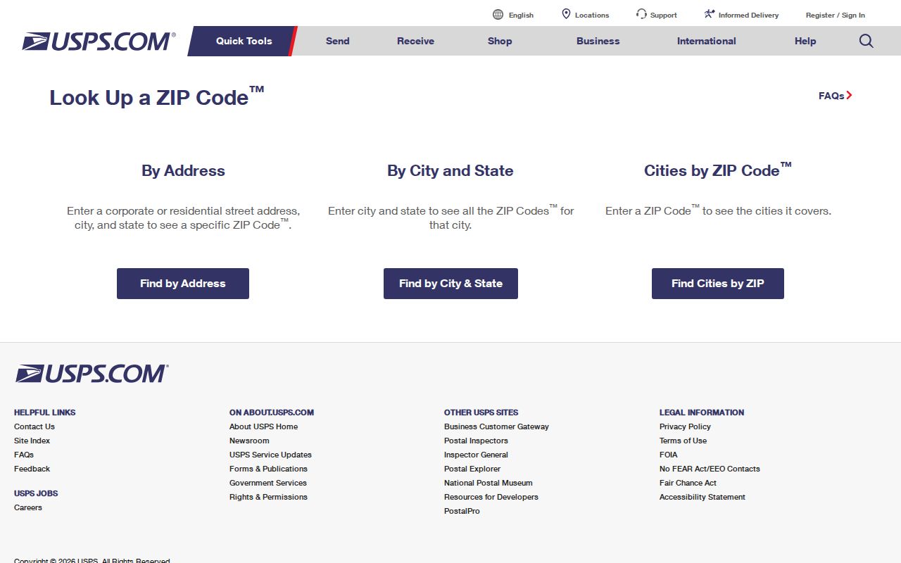
Keep the returned delivery ZIP beside the address as evidence, then move to the parcel and jurisdiction layers for any record search that follows.
Map Santa Cruz ZIP Areas
Santa Cruz County GISWeb includes a ZIP Areas layer that can be viewed with assessor parcels, city limits, planning areas, precincts, school districts, hazards, and service districts. Search by APN or address, accept the viewer disclaimer, and turn on only the layers needed for the question. The parcel is the durable anchor when a ZIP polygon and a city boundary do not line up.
No verified public export gives every owner in a ZIP. GIS can show shapes, map context, and nearby parcels, but it does not defeat the Assessor’s online owner suppression. The County Assessor supplies current owner and tax mailing information by telephone or counter for a specified APN. A ZIP-wide owner download should not be claimed from the map.
The Santa Cruz County GISWeb is useful for comparing ZIPAREAS and CITYLIMITS, while the Parcel Lookup resolves the APN or base street address. Use the city or county permit system only after that jurisdiction check.
Santa Cruz ZIP Search Steps
A ZIP code search becomes more reliable when postal verification comes before name matching. Use the same address string at each stage and save the result that explains the handoff.
- Verify delivery. Enter the complete address in USPS ZIP Lookup and record the returned ZIP without guessing a station.
- Resolve the parcel. Search the County Parcel Lookup by APN or street number plus base street name, omitting Avenue, Street, or Boulevard.
- Overlay geography. In GISWeb, compare the parcel with ZIP Areas, CITYLIMITS, planning, precinct, school, and service layers.
- Choose the keeper. Use city eTRAKiT for incorporated parcels or County CDI for unincorporated land; use Recorder, Elections, or a state portal for their own record types.
- Stop at the access rule. A ZIP does not open owner names, voter names, protected addresses, private utility data, or sealed records.
When the task narrows to one street, the Santa Cruz street directory workflow can take the APN and address chain further. The ZIP code directory should hand off rather than repeat the street-by-street deed method.
Santa Cruz Parcel Keys Behind ZIPs
Four identifiers often appear beside one address, but they answer different questions. Keeping them apart prevents a mailing ZIP from being treated as a title, occupancy, or jurisdiction fact.
- APN
- The assessor parcel number assigned to land. It may change after a subdivision, combination, or map-book revision.
- Situs address
- The physical location used to describe the parcel. It is the location clue for GIS and permit searches.
- Tax mailing address
- The destination for assessment notices. It may differ from the situs and does not prove who occupies the land.
- Legal description
- The recorded land description, such as lot and block, subdivision, or metes and bounds. It keeps older deeds tied to the right parcel when street numbers change.
- ZIP code
- A USPS delivery geography. It is not the same as a city boundary, parcel, district, or resident roll.
Retain the APN, situs, mailing line, legal description, and USPS result together. This small record inventory is more useful than a lone ZIP copied from a name result.
ZIP-Capable Records Stay Narrow
Some official tools accept a city or ZIP while still covering only a defined record class. California DCA advanced search may use city, up to ten counties, board or bureau, license type, name, and status, depending on the participating board. ABC reports can group liquor licenses by city, ZIP, county, type, owner, DBA, or premises. Those are license and business records, not all residents.
My Voter Status verifies the requester’s own registration with identifying data. Santa Cruz County Elections can provide permitted file extracts only through a current application, statutory purpose, data description, and signed promise against unauthorized or commercial use. The voter roll is not a public browse-by-ZIP product.
Federal case research has its own scope. PACER can locate federal cases by party or case number, but it is not a ZIP resident list, and an account and current access terms apply.
The official PACER entry illustrates why a case portal should be used for a case question, not as a substitute for postal geography.
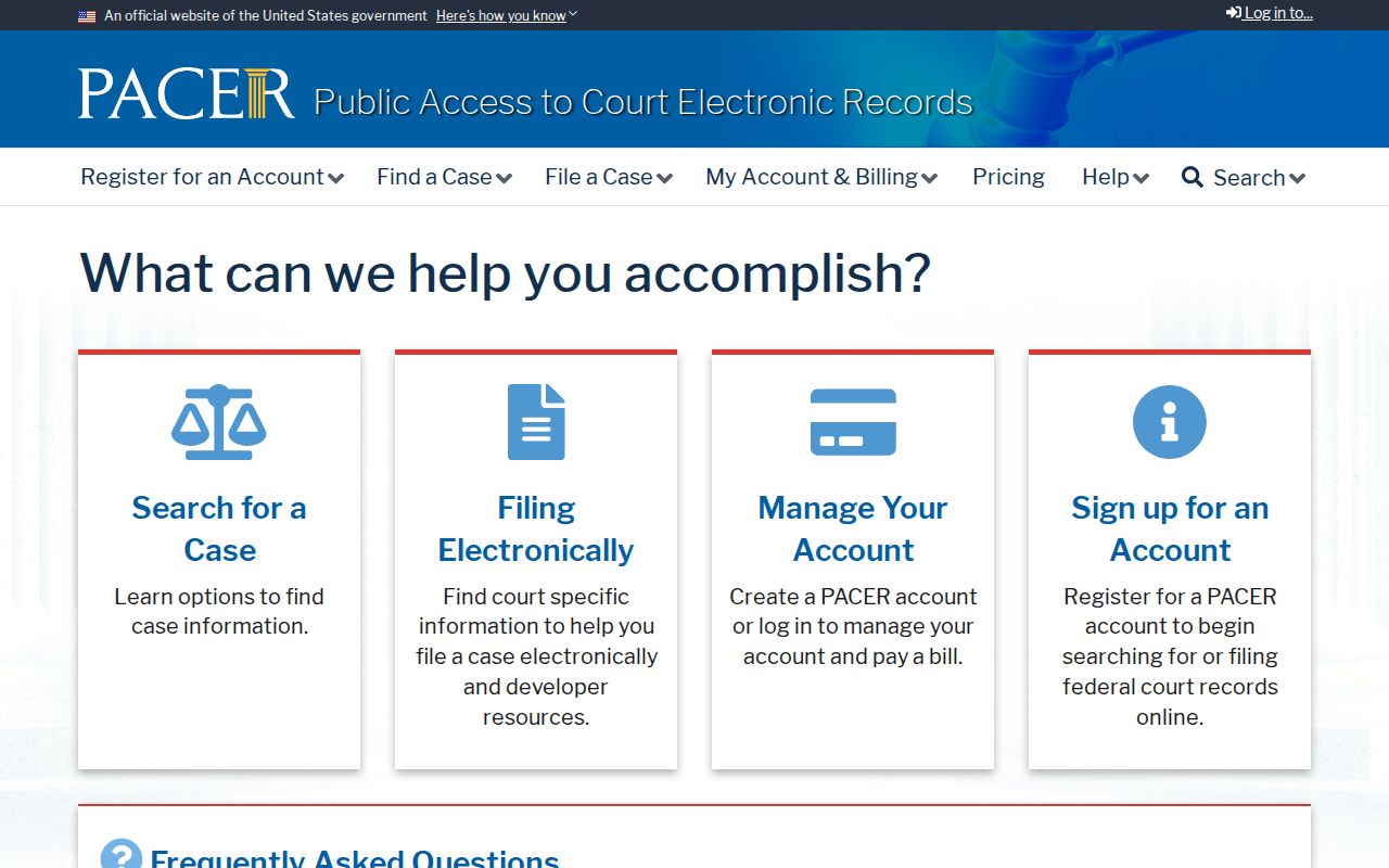
Match the source to the claim. A ZIP-capable search can confirm a licensed site or federal case lead without proving a person lives at that ZIP.
| Source category | ZIP or geography use | What it does not establish |
|---|---|---|
| USPS | Delivery ZIP for an address | City incorporation, parcel ownership, or household identity |
| GISWeb | ZIP Areas and boundary overlays | Public owner export or confirmed occupancy |
| DCA or ABC | License, premises, city, county, or ZIP filters | A complete resident population |
| My Voter Status | One person’s verified registration information | A searchable voter list by ZIP |
| PACER | Federal case and party lookup | A postal directory or current address |
Santa Cruz ZIP Privacy Boundaries
Santa Cruz County Elections’ public information is shaped by Elections Code §§2194 and 2166. Registration data is released only for defined governmental, election, scholarly, journalistic, or political uses. Driver-license data, Social Security numbers, signatures, and confidential voter addresses remain protected. A ZIP filter does not make those fields open to ordinary curiosity.
The California Secretary of State’s Safe at Home program gives qualifying survivors a substitute mailing address and forwarding route through a designated agency. The substitute address can protect a voter record while the public land record may still show a legal description. Treat both facts with care.
The official Safe at Home service is a reminder that postal geography can be public while a person’s actual location is protected.
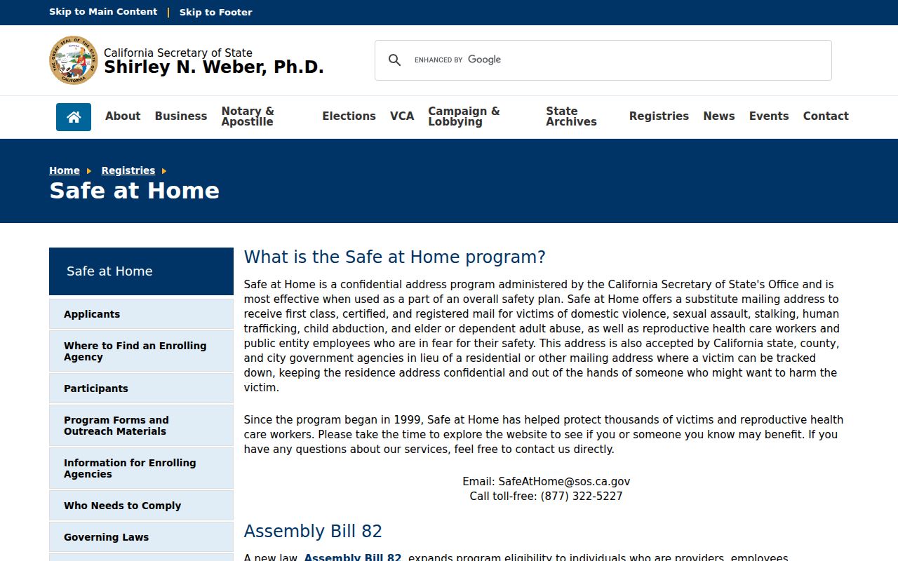
The County Elections portal remains the source for current forms and permitted access, not a general ZIP resident search.
The Santa Cruz County Elections service also supplies district maps and permitted file information.
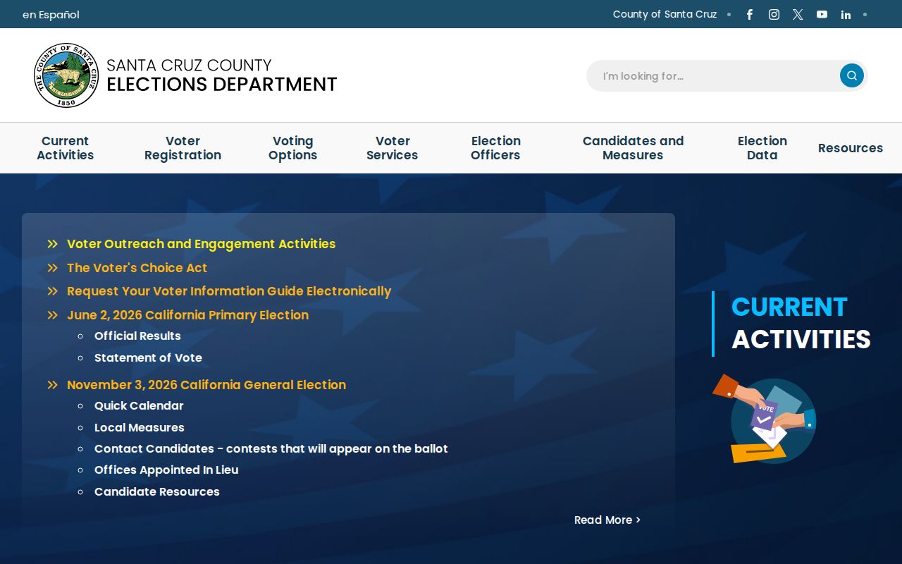
Election geography can help place a ZIP beside precincts and districts, but it does not create a public resident list.
California’s public-record rules allow lawful research, but they do not permit a ZIP code directory to become a tool for tracking a protected person. Use a ZIP to frame a record question, verify the exact address, and stop when the custodian’s limit applies.
Lawful Santa Cruz ZIP Research
A postal code can help sort family history, confirm a campus or business route, compare city and county geography, or find the right public office. It cannot turn a mailing line into proof of residence. The strongest result pairs USPS delivery evidence with an APN, GIS jurisdiction, and a source-specific record.
The Santa Cruz County Elections site is useful for district maps and permitted voter information, while the County Recorder, Assessor, city clerk, and state licensing offices each keep a different slice of the resident trail.
Lawful personal use. Use Santa Cruz ZIP information for family history, civic geography, reconnecting, and checking a public record. Do not use a postal code or public record to stalk, harass, intimidate, or harm anyone.