
Santa Cruz Neighbor Coverage
A block lookup needs a source for each claim. For Santa Cruz neighbors, the county map can find adjacent parcels, the Assessor can answer a specified APN question through its allowed channel, and a permit or reverse directory can show a project or historical listing. Community contacts can help with local history, but public contacts do not imply an open membership roster.
| Source | What It Shows About a Block | Access |
|---|---|---|
| Santa Cruz County GISWeb | Target and adjacent parcel polygons, street and aerial context, ZIP, city-limit, and district layers | Free map after disclaimer; search, pan, zoom, and parcel clicks |
| County Assessor | Current assessed owner and tax mailing destination for a specified APN | Telephone or counter; owner names suppressed on the web result |
| City or County permits | Projects, dates, applicants, contractors, and other public project roles | Address search or staff request; city and county jurisdiction differs |
| Reverse directories | Historical listed occupants or subscribers along the block | Santa Cruz Public Libraries and State Library holdings |
| Voter information | Self status or a file released for a defined statutory purpose | My Voter Status or permitted Elections request; no casual block browse |
| Community groups | Public officers, meeting details, newsletters, or contact routes | Organization or city pages; private member lists are not presumed public |
An owner, a listed subscriber, a permit applicant, and a household member are different roles. A parcel may contain more than one unit, share an APN with another address, or have a mailing destination away from the situs. Treat the table as a set of leads with separate proof standards.
Click Santa Cruz Parcels
GISWeb’s adjacent-parcel method is the most defensible way to map Santa Cruz neighbors. Search the target APN or address, accept the disclaimer, and zoom until parcel lines and street labels are clear. Select the target, then click each touching or nearby polygon. Corner and rear parcels can be missed if a search relies only on consecutive street numbers.
- Locate the target. Use APN, address search, or map navigation in Santa Cruz County GISWeb.
- Save the parcel keys. Record the target and adjacent APNs and situs addresses, including corner or rear lots.
- Turn on context layers. Compare parcels with ZIP Areas, CITYLIMITS, aerial imagery, planning, precinct, school, hazard, and service layers.
- Open the Property Report. Review land-use, biotic or water-resource, hazard, special-district, and other parcel context the report provides.
- Request allowed owner facts. Ask the Assessor about each specified APN by telephone or counter; do not claim a radius owner export.
GISWeb has more than 100 available layers, but a map click does not create a verified radius list. Build a modest adjacent-parcel set and keep its APNs with the date inspected.
Santa Cruz Owner Records Offline
The County Parcel Lookup can resolve an APN from a base street address, yet the Internet result omits the owner. Government Code §7928.205, formerly §6254.21, is the California restriction behind that split. Call the Santa Cruz Assessor’s real-property line at 831-454-2270 or visit Room 130, County Government Center, 701 Ocean Street, Santa Cruz, Monday through Friday from 8:00 a.m. to 5:00 p.m.
Ask for the current assessment-roll owner and tax mailing address for a named APN. Situs is the physical parcel. Mailing address is the destination for tax notices. A matching line can support an owner-occupancy hypothesis, but it does not prove who is present. A different mailing line can reflect a trust, agent, tax preference, or another property.
The Santa Cruz Parcel Lookup is the online first step, while the Assessor counter or telephone channel completes the ownership question. Recorder instruments add party and title history, but they do not turn a deed party into every neighbor at the address.
Quirk: Santa Cruz’s owner layer can be visible through the allowed office channel while the web map remains useful for parcel shape and adjacency.
Parcel Neighbors Versus Households
A parcel map shows land, not a census of people. Multi-unit parcels can have many households. A mailing address can belong to an owner or agent who is elsewhere. A permit applicant can be a contractor, architect, owner, or other project role. A reverse directory can list one subscriber and omit other people who used the address.
Haines and other criss-cross directories can add historical block context. Read the street guide, orient by intersections, and compare odd and even numbers across years. The listed occupant is evidence from that edition. It is not proof of a current household or a complete list of Santa Cruz neighbors.
The Santa Cruz Public Libraries Local History route is useful for reverse directories, newspapers, maps, and staff reference. Library access and exact year runs should be confirmed before travel.
Comparison. GIS identifies adjacent land, the Assessor identifies an allowed title-related fact, and a directory identifies a listed name. None alone proves current occupancy.
Santa Cruz Block Layers and Permits
Neighborhood geography overlaps. Santa Cruz planning units include Beach, Downtown, Mission, Ocean, River, Soquel, South of Laurel, and Water. Everyday names add Westside, Eastside or Midtown, Seabright, Beach Flats, Lower Ocean, Harvey West, and University Terrace. A familiar neighborhood name is useful for orientation, but parcel, city-limit, ZIP, and agency layers decide which record keeper applies.
GISWeb can show CITYLIMITS, ZIPAREAS, zoning, precincts, legislative and school districts, hazards, water or sanitation boundaries, and code-compliance context. For a city parcel, eTRAKiT may show permit or business-license tabs. County CDI handles unincorporated land that may still use a Santa Cruz postal city. Pre-2010 city permit detail may need staff research.
A permit can show an application, project site, owner or contractor role, status, inspections, and dates when public. It can date a change around the block, but it should be labeled as project evidence. It is not a neighbor directory.
Voter Rules for Santa Cruz Blocks
California My Voter Status is an identifying-data tool for the person checking their own registration. It may show status, party preference, residential or mailing information in the requester’s record, voting location, districts, vote-by-mail status, and election information. A failed match is not proof that a person is unregistered, and a successful self-check does not open a neighbor list.
Elections Code §2194 limits release and use of specified voter-registration data. Driver-license or state-ID numbers, Social Security numbers, signatures, and protected addresses remain restricted. Elections Code §2166 provides confidential registration for qualifying life-threatening circumstances. A file request must use the current Elections application, name the requester or organization, state an allowed purpose, describe the area and fields, and accept the use and security conditions. “Everyone on a street” is not a normal personal lookup.
The Santa Cruz County Elections office is the route for current forms and permitted file questions. Do not use a ZIP, GIS layer, or public voter rule to infer an unlisted household.
Santa Cruz Names and Record Lines
A Santa Cruz mailing address can sit outside the incorporated city. The 95062 geography joins city Eastside, Midtown, and Seabright with unincorporated Live Oak and Pleasure Point. Similar crossings occur in other postal areas. Use USPS for delivery validation, GISWeb for parcel and city-limit overlays, and the relevant city or county office for permits and code records.
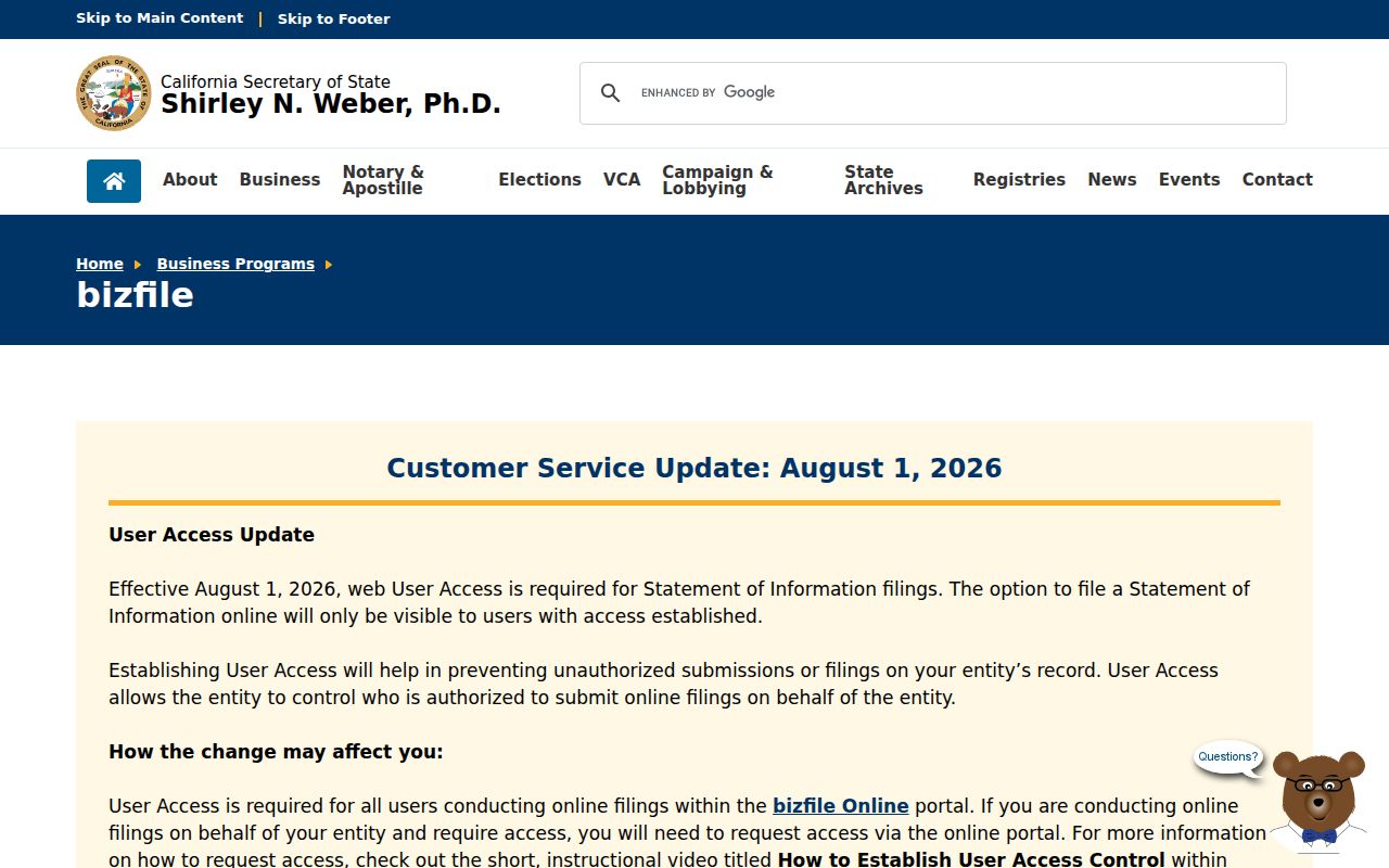
California Secretary of State bizfile can verify an entity name, status, agent, officers or managers, filing address, and Statements of Information. That may help distinguish a public organization or business contact from a similarly named person. It does not make an entity filing a resident roster, and an agent or premises address may not be a home.
The official California business-search screen shows the scope of an entity lookup.
Use public organizational contacts for the role stated in the filing. Do not convert an officer, agent, or business address into a claim about the nearby household.
Community Contacts Without Rosters
Public community contacts can help Santa Cruz neighbors with block history, meeting information, neighborhood projects, or a safe way to ask a general question. Research did not identify an authoritative citywide public member directory for Santa Cruz neighborhood associations, clubs, congregations, or private homeowner groups. Contact information is not consent to collect or scrape a private roster.
City Neighborhood Geography
City neighborhood and park information can orient planning and community geography.
Local History Desk
Santa Cruz Public Libraries can point to maps, newspapers, directories, and local-history sources.
Genealogy Reference
Santa Cruz Genealogical Society contact: 831-427-7707 ext. 5794 and staff@scgensoc.org. Research service and hours should be confirmed.
Neighborhood Watch contacts mediated by police, public newsletters, civic clubs, and congregations may be useful when their published channel invites contact. Ask a narrow history or safety question. Do not ask for private member names or infer a person’s affiliation from a nearby parcel.
Official and Commercial Neighbor Sources
Official records and commercial compilation services answer different kinds of questions. The official route is slower when ownership is suppressed or a file must be requested, but it names the custodian and exposes the rule behind the result. A commercial compilation can be a quick lead, yet mixed public and purchased data may be stale, merged, or incomplete. Neither category is a complete list of Santa Cruz neighbors.
| Source category | Strength | Limit to state plainly |
|---|---|---|
| County GIS and Assessor | Parcel geometry, APN, allowed owner and mailing facts | No verified radius export; web owner suppression; no household census |
| Permits and directories | Project roles and historical listed occupants | Role, year, and edition limit the inference |
| Voter and community channels | Self verification or public contact routes | Statutory purpose rules and private rosters |
| Commercial compilation services | Possible cross-source lead and opt-out route | Stale or merged identities, unclear provenance, and no source authority |
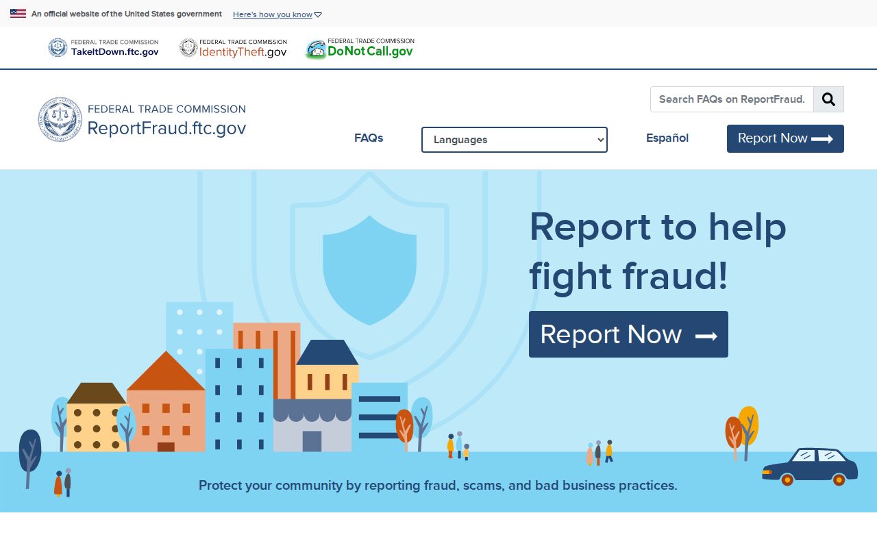
When a suspicious message or identity concern comes from a neighbor-data lead, use the Federal Trade Commission fraud report or the source agency’s official contact. Do not pay for a claim that a private compilation is the only way to remove public information.
The federal reporting route is shown in the official fraud-report capture.
Report the conduct, preserve the message, and verify any parcel or identity fact with the named custodian.
Santa Cruz Neighbor Privacy Limits
DMV address data is restricted by the federal Driver’s Privacy Protection Act and California rules. Utility and delivery accounts are private. Safe at Home can give qualifying survivors a substitute mailing address and forwarding route, while confidential voter registration can shield an address. A public legal description can identify land without exposing where a protected person receives mail.
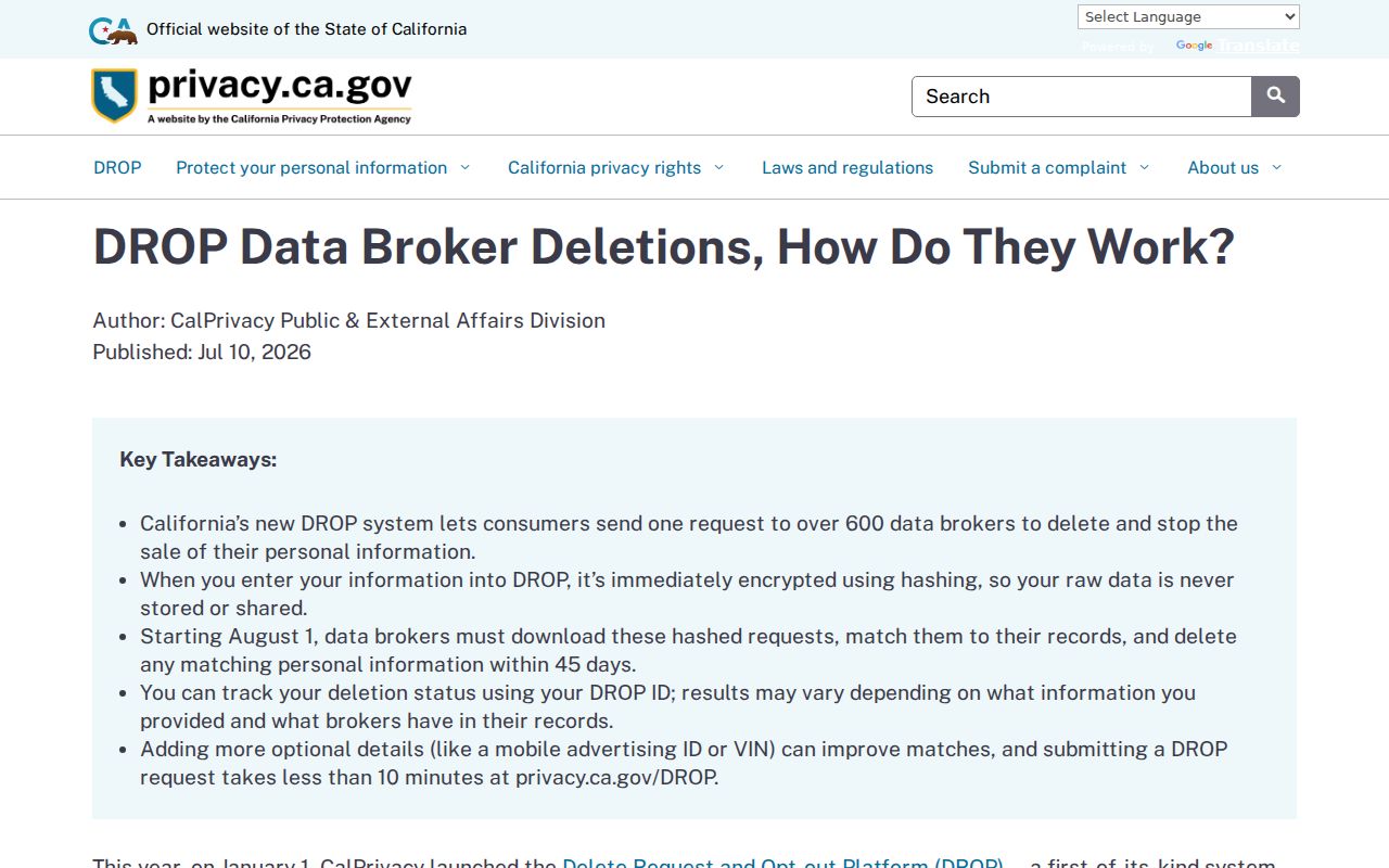
California’s DROP portal began January 1, 2026. A verified request can reach more than 600 registered data brokers, and brokers must retrieve requests at least every 45 days beginning August 1, 2026. DROP and site-level opt-outs change covered commercial data. They do not delete an accurate county deed, court file, or public parcel map.
Identity theft concerns should be handled through the official recovery route rather than a neighbor search.
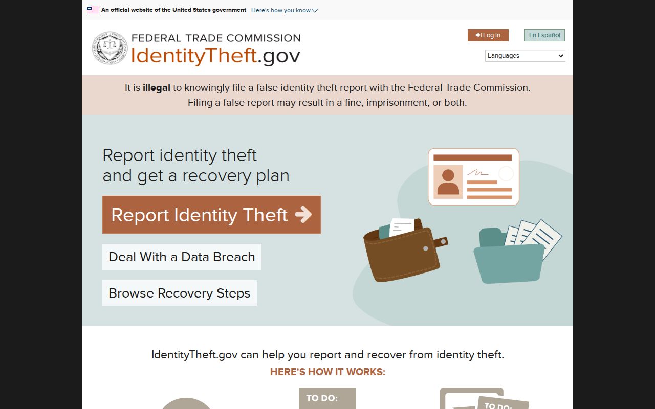
The Federal Trade Commission’s recovery service connects a suspected identity-theft event to a response plan. A nearby parcel name is not proof of the person who used an account or message.
The California privacy deletion process is shown in the state privacy agency’s explanation of DROP.
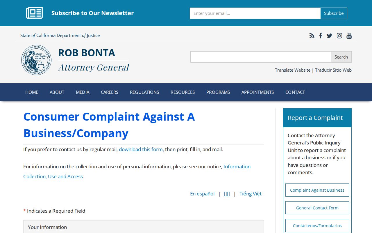
For a complaint about a business’s conduct, the California Attorney General’s consumer complaint route is a better channel than confronting a nearby household.
Lawful personal use. Use a Santa Cruz neighbor lookup for block orientation, community history, reconnecting, and personal safety awareness. Do not use parcel or public-record information to stalk, harass, intimidate, or harm anyone.